Capitalism and Cartography in the Dutch Golden Age
"In Capitalism and Cartography in the Dutch Golden Age", Elizabeth A. Sutton explores the fascinating but previously neglected history of corporate cartography during the Dutch Golden Age, from ca. 1600 to 1650. She examines how maps were used as propaganda tools for the Dutch West India Company in order to encourage the commodification of land and an overall capitalist agenda.
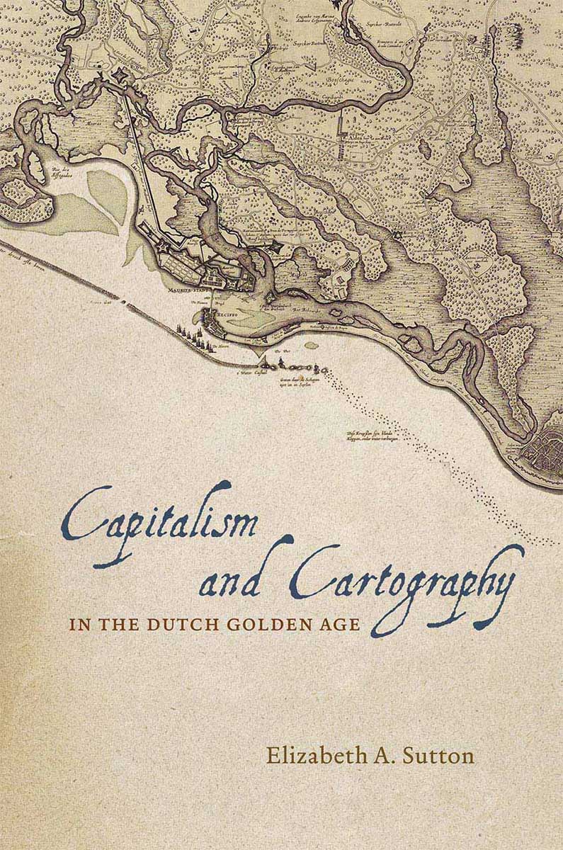
Building her exploration around the central figure of Claes Jansz Vischer, an Amsterdam-based publisher closely tied to the Dutch West India Company, Sutton shows how printed maps of Dutch Atlantic territories helped rationalize the Dutch Republic's global expansion. Maps of land reclamation projects in the Netherlands, as well as the Dutch territories of New Netherland (now New York) and New Holland (Dutch Brazil), reveal how print media were used both to increase investment and to project a common narrative of national unity. Maps of this era showed those boundaries, commodities, and topographical details that publishers and the Dutch West India Company merchants and governing Dutch elite deemed significant to their agenda. In the process, Sutton argues, they perpetuated and promoted modern state capitalism.
Contents:
Chapter 1. Capitalism, Cartography, and Culture
Early Modern Capitalism and Cartography
Theorizing Capitalist Cartography
Chapter Outlines
Chapter 2. Amsterdam Society and Maps
The Market for Maps
Organization of Government and the WIC
Pictorial and Intellectual Foundations
Social Organization and Hierarchy
Conclusion
Chapter 3. Capitalism and Cartography in Amsterdam
The Virtuous Merchant and the Republic
Visscher and the Amsterdam Map Tradition
The Beemster
The Grid, Private Property, and the Commonwealth
Chapter 4. Profit and Possession in Brazil
Visscher's WIC-Authorized Map of Pernambuco
Johan Maurits and the Development of Recife and Mauritsstad
Blaeu and Barlaeus's Representation of Brazil
Possession According to Grotius
Natural Rights, Sugar, and Human Exploitation
Trying Times: 1648
Chapter 5. Marketing New Amsterdam
Picturing New Amsterdam
WIC Colonial Policies 1629-49: Possession, Boundaries, Patroons, and Natives
The 1649 Affair
New Amsterdam Renewed
Conclusion
Chapter 6. Capitalism and Cartography Revisited
Acknowledgments
Bibliography
Index
About the Author
Elizabeth Sutton is assistant professor of art history at the University of Northern Iowa.
Reviews
"With 'Capitalism and Cartography in the Dutch Golden Age', Sutton analyzes the history of the Dutch republic and the maps that supported its capitalist and colonial society through a lens that puts the seventeenth century in chilling conversation with our world today. Her close readings of illustrated maps and early modern texts, ranging in subject from Calvinist theology to property law and political philosophy, create a compelling argument for the role maps played in amplifying the power of Amsterdam elites" – Dawn Odell, Lewis & Clark College
"Sutton argues expertly that cartography is fundamental to the understanding of the capitalist policies of the young Dutch Republic, successfully revealing how maps and the underlying grid systems and Roman-Dutch law played a crucial role in the organization of private ownership, economic expansion, imperial policies, and marketing. 'Capitalism and Cartography in the Dutch Golden Age' skillfully pulls down the barriers between economy and maps; between maps, marketing, and art; and between national histories" – Kees Zandvliet, Rijksmuseum, Amsterdam
"Sutton offers a provocative and compelling examination of the ways Dutch capitalists in the seventeenth century deployed maps as tools for their dominance over the land and other people, as well as ways to express their power and wealth. A strong and stimulating work, 'Capitalism and Cartography in the Dutch Golden Age' is an excellent addition to the fields of art history and the history of cartography" – Robert Karrow, Newberry Library